

The Hayduke Project
812 Miles5 national parks, 3 national monuments; infinite adventure.
The Hayduke Project
812 Miles5 national parks, 3 national monuments; infinite adventure.
Welcome to the Hayduke
About the Hayduke Trail. The Hayduke is an 812 mile route that traverses the Colorado Plateau - not in the shortest possible way, but meandering to link together the Plateau's most beautiful areas, national parks and national monuments including Grand Staircase Escalante and Bears Ears National Monument (at least in its original designation). It was developed in the late 1990s by Joe Mitchell and Mike Coronella.
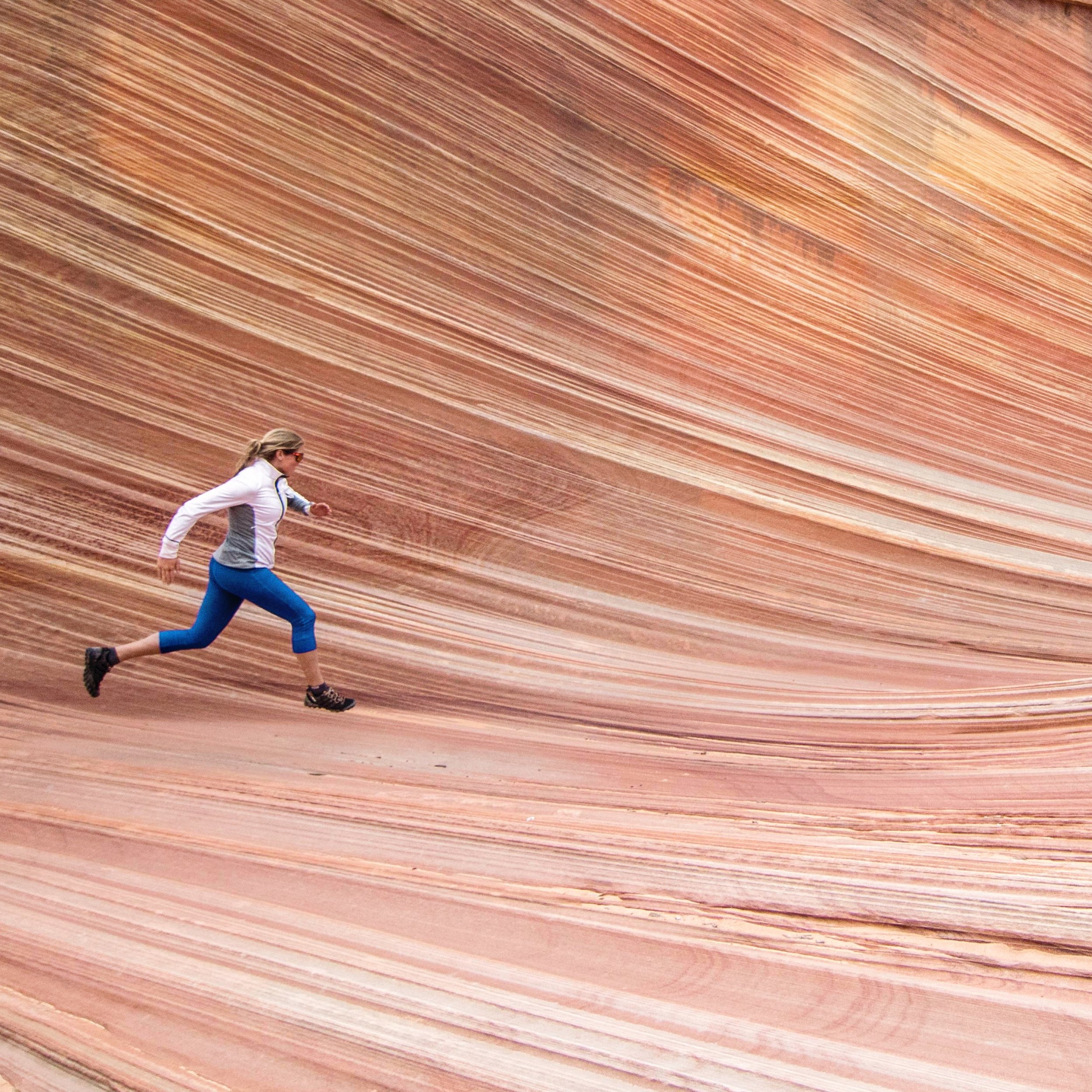
Sunny's Hayduke Project in a nutshell: a celebration of vast expanses of open space, the wild magic of the Colorado Plateau, and solitary human-powered distance travel. April - May 2018.
Find out more about Sunny here.
Why hike across the Colorado Plateau?
Because it's beautiful. And big. And way out there. But also because this is one of the key areas of the Trump administration's attack on public lands, with the Hayduke leading right through the heart of Grand Staircase Escalante - one of the largest remaining roadless wilderness areas in the lower 48 - as well as Bears Ears National Monument. If development enters the contested areas of Grand Staircase Escalante and Bears Ears, the days of being able to hike the full magnificent length of the Hayduke in its current form may well be numbered.
Hiking the length of the Hayduke has been on my bucket list since I first heard about the trail ('trail' may be an overstatement - 'backcountry route' is the more appropriate description). The Utah desert and the Grand Canyon are two of my favorite places in the world and the Hayduke links both of them in a most intriguing, challenging way. With the current political climate, it seems like now is the time to get out there and experience the gems of wild country that are being threatened by the administration. With this hike I want to tackle a big physical and personal challenge - because that is the type of adventure that I thrive on - and I want to bring back images and experiences that I can share to help tell the story of why we need to fight for the protection of our public lands.
GPS tracking
GPS tracking
GPS tracking
GPS tracking
Follow Sunny on the Colorado Plateau
Take a look at the map below to follow along on the Hayduke real-time via Garmin Outdoor inReach technology. I will send GPS breadcrumbs while I am moving to give you an idea of how I am progressing on my 812 mile journey across the Colorado Plateau.
And: you can send text messages, too! Click on the 'message' button (upper left next to the map below) and type away. Just like a regular text message, no special charges apply on either end thanks to an unlimited message subscription through Garmin.
Notes about GPS communication: be aware that downloading new messages or sending location updates is only possible while the inReach GPS is powered and has a clear view of the sky, so don't worry if there are gaps in communication or if you don't see me moving on the map. It's always fun to see a bunch of new inbound messages in the morning - don't let the time lag between sending and receiving messages stop you from writing!
You can also access a larger version of the map at https://share.garmin.com/AWExpeditions
POWERED BY

Thanks also to